Blauwe route vanaf startpunt Castricum
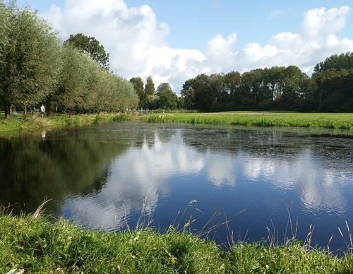
De route volgt het spoor naar de noordrand van Castricum, langs de Schulpvaart. Aan de oostrand van Castricum langs het Gerbrandsven volg je de waterpartijen het dorp in naar de sfeervolle Dorpsstraat met leuke winkels, het oude Raadhuis (nu hotel en grand café) en daarachter de 12de-eeuwse tufstenen Dorpskerk.
To enter this route into the app: use your app to scan the QR code or enter route number 19337.
- 7.54 km
© OpenStreetMap contributors

| From | To | Notifications | |||
|---|---|---|---|---|---|
 Startpunt Station Castricum (toeristisch overstappunt) |  | 0.07 km |
| ||
|  | 0.47 km |
| ||
|  | 0.98 km |
| ||
|  | 2.46 km |
| ||
|  | 0.89 km |
| ||
|  | 2.15 km |
| ||
| Startpunt Station Castricum (toeristisch overstappunt) | 0.58 km |
|