
Wijkermeer Walk (blue)
Unpaved path (partly)
Average
5 Ratings
Rate this route
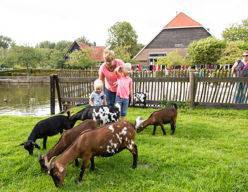
The Wijkermeer Walk (blue) near Velsen-Zuid mainly travels over land that was drained barely 150 years ago. Before that time, the Zuiderzee reached far inland via the IJ and the Wijkermeer. Nowadays you have a view over the golf course (with restaurants). The green is then exchanged for the blue of Zijkanaal C, a branch of the North Sea Canal to Spaarndam.
-
 To add this route in the app: scan the QR code from within the app. or enter the route number 14778 in.
 - 6.35 km
-
 Closed route
-
 Soon-to-be closed route
-
 Reports
-
 Hike point
-
 Starting point
-
 One-way path
Scroll the table below horizontally to see more

| From | To | Segment length | Marking(s) | Characteristics | Reports |
|---|---|---|---|---|---|
|
Starting point zorgvrij velsen (tourist transfer point) |
0.23 km |
|
|
|
|
| 1.11 km |
|
|
|
||
| 1.61 km |
|
|
|
||
| 1.13 km |
|
|
|
||
| 1.86 km |
|
|
|
||
| 0.32 km |
|
|
|
||
|
Starting point zorgvrij velsen (tourist transfer point) |
0.09 km |
|
|
|