Oosterbnroek route
Moderate
5 Ratings
Rate this route
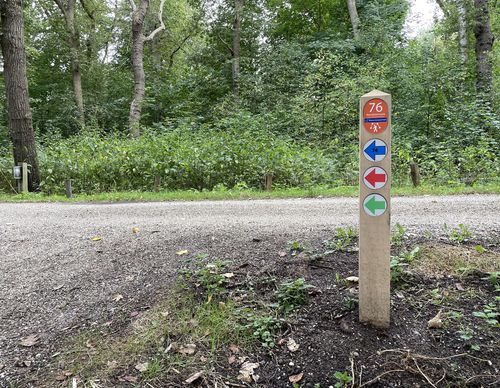
The Oosterbroek route (green) passes through undulating terrain. Did you know that the ground you will be walking on consists of construction and demolition debris? When the waste was literally piling up in the late 1960s, it was decided to construct three mounds some 25 to 30 metres high. The debris was covered with a layer of clay to keep rainwater out. The area now serves a lovely hiking area. You will enjoy phenomenal views of the North Sea Canal, with large ships sailing to and fro.
-
To add this route in the app: scan the QR code from within the app. or enter the route number 24670 in.
- 4.93 km
-
 Closed route
-
 Soon-to-be closed route
-
 Reports
-
 Hike point
-
 Starting point
-
 One-way path
| From | To | Segment length | Marking(s) | Characteristics | Reports |
|---|---|---|---|---|---|
|
Het buitenhuis velsen-zuid starting point |
0.24 km |
|
|
|
|
| 0.13 km |
|
|
|
||
| 0.83 km |
|
|
|
||
| 0.12 km |
|
|
|
||
| 0.81 km |
|
|
|
||
| 0.42 km |
|
|
|
||
| 0.52 km |
|
|
|
||
| 0.5 km |
|
|
|
||
| 0.26 km |
|
|
|
||
| 0.85 km |
|
|
|
||
|
Het buitenhuis velsen-zuid starting point |
0.24 km |
|
|
|


