Ommetje Botgat
Rate this route
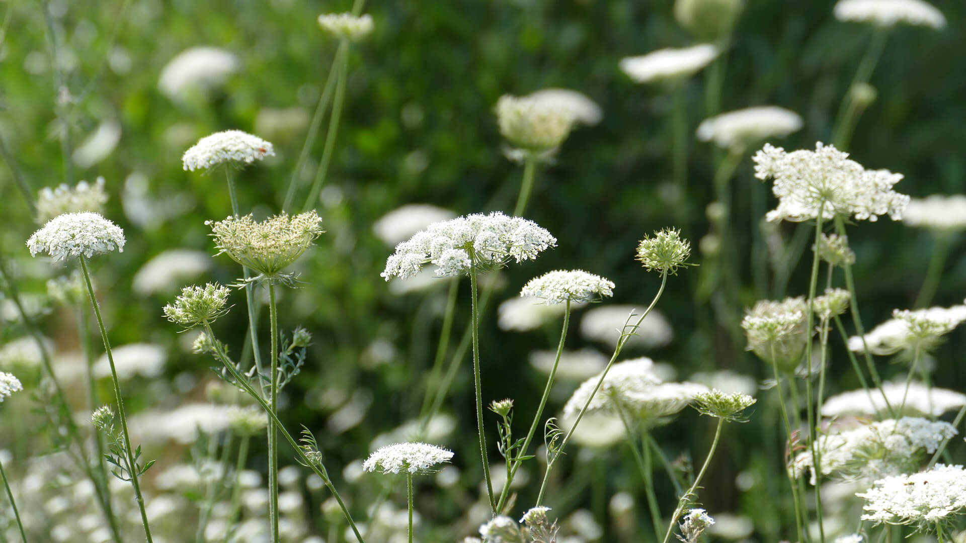
Het ommetje Botgat gaat door terrein dat tot 2005 militair gebied was en door Landschap Noord-Holland is teruggegeven aan de natuur. De vochtige duinvallei aan de zuidkant is nu opengesteld voor wandelaars. ‘Botgat’ verwijst naar de opgedolven skeletten van doodgeschoten militairen tijdens de Engelse invasie van 1799.
De route is gemarkeerd met groene pijlen.
-
To add this route in the app: scan the QR code from within the app. or enter the route number 2526 in.
- 2.09 km
-
 Closed route
-
 Soon-to-be closed route
-
 Reports
-
 Hike point
-
 Starting point
-
 One-way path
Scroll the table below horizontally to see more
| From | To | Segment length | Marking(s) | Characteristics | Reports |
|---|---|---|---|---|---|
|
Startpunt groote keeten |
0.2 km |
|
|
|
|
| 0.94 km |
|
|
|
||
| 0.68 km |
|
|
|
||
| 0.07 km |
|
|
|
||
|
Startpunt groote keeten |
0.21 km |
|
|
|


