
Klimduinroute (zeegroen) vanaf startunt Schoorl Centrum
Unpaved path (partly)
Moderate
1 Ratings
Rate this route
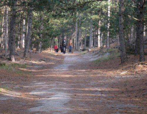
De route komt langs het Klimduin, dat met haar 54 meter het hoogste duin van Nederland is.
-
 To add this route in the app: scan the QR code from within the app. or enter the route number 422 in.
 - 4.48 km
-
 Closed route
-
 Soon-to-be closed route
-
 Reports
-
 Hike point
-
 Starting point
-
 One-way path
Scroll the table below horizontally to see more

| From | To | Segment length | Marking(s) | Characteristics | Reports |
|---|---|---|---|---|---|
|
Startpunt schoorl centrum |
0.19 km |
|
|
|
|
| 0.05 km |
|
|
|
||
| 0.28 km |
|
|
|
||
| 0.44 km |
|
|
|
||
| 0.1 km |
|
|
|
||
| 0.04 km |
|
|
|
||
| 1.13 km |
|
|
|
||
| 0.58 km |
|
|
|
||
| 0.07 km |
|
|
|
||
| 0.65 km |
|
|
|
||
| 0.44 km |
|
|
|
||
| 0.32 km |
|
|
|
||
|
Startpunt schoorl centrum |
0.19 km |
|
|
|