
Bijlmerweideroute (green)
Unpaved path (partly)
Average
3 Ratings
Rate this route
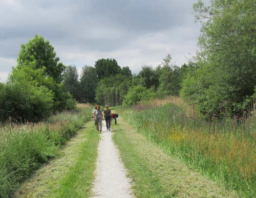
The varied Bijlmerweideroute (green) near Amsterdam-Zuidoost heads west out of the park - over the Veeneikbrug bridge to the Bijlmerweide park, along the edge of the Bijlmer district. You return via the campus village of Diemen, the new Holland Park residential area, the Diem river and the Penbos marshland. You will walk through parks and residential areas, over medieval dikes and through nature reserves, before returning to the Diemerbos.
-
 To add this route in the app: scan the QR code from within the app. or enter the route number 80614 in.
 - 9.35 km
-
 Closed route
-
 Soon-to-be closed route
-
 Reports
-
 Hike point
-
 Starting point
-
 One-way path
Scroll the table below horizontally to see more
![Diemerbos Starting Point [TOP]](/grfx/startpunten/punt_51.png)
| From | To | Segment length | Marking(s) | Characteristics | Reports |
|---|---|---|---|---|---|
|
Diemerbos starting point [top] |
0.06 km |
|
|
|
|
| 0.48 km |
|
|
|
||
| 0.34 km |
|
|
|
||
| 1.06 km |
|
|
|
||
|
Diemen-zuid station starting point |
2.43 km |
|
|
|
|
|
Diemen-zuid station starting point |
0.12 km |
|
|
|
|
| 1.08 km |
|
|
|
||
| 0.48 km |
|
|
|
||
| 0.11 km |
|
|
|
||
| 0.48 km |
|
|
|
||
| 0.79 km |
|
|
|
||
| 0.74 km |
|
|
|
||
| 0.65 km |
|
|
|
||
|
Diemerbos starting point [top] |
0.58 km |
|
|
|