
Starting point Hondsbossche Sea Defence

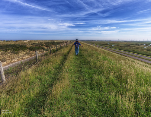
The dunes between Camperduin and Petten have often been swept away by storm surges. That is why the Hondsbossche Sea Defence was built after the devastating St Elizabeth’s Flood of 1421. The dyke was first made of sand and later faced with natural stone. The present 5.5-kilometre dyke dates from 1870. Almost two centuries later, further measures were taken to ensure the coast’s safety.
As part of the Kust op Kracht project (2013–2016), the coast between Camperduin and Petten was reinforced with sand. This created young dunes in front of the sea defence, providing new natural habitat.
- The Putten Route (purple) circles the Putten, an extensive meadow area of ditches and pools managed by Natuurmonumenten. The area got its name from the clay pits dug to extract clay used to reinforce the Hondsbossche Sea Defence. Many birds, including unusual species, now settle here. They are easy to spot from the dyke.
- The Sea Defence Route (blue) follows the Hondsbossche Sea Defence northwards. You walk on the inland side of the Oude Schoorlse Zeedijk and beside the Hondsbossche Vaart. In the middle of the open landscape stands Harger Mill (1804), which drains the Harger and Pettermer polders.