
Starting point Sint Pancras

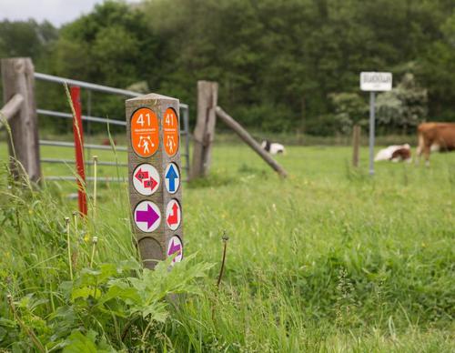
Routes from this starting point
-
Sint Pancras Walk (red)
- 3.21km
-
Fringe Route (green)
- 7.28km
Kaart Startpunt Sint Pancras 2026 (2177 kb)
Sint Pancras developed on a beach ridge, or geest, between the Vronermeer and Heerhugowaard, then a large lake. It was already inhabited in the late Iron Age. The settlement was initially called Franloo, later Vronen, and finally Sint Pancras, after the medieval chapel of the same name.
In recent years, the small village of Sint Pancras has slowly become enclosed by the larger towns of Alkmaar and Heerhugowaard, but it never lost its own distinct identity.
- The Sint Pancras Walk (red) is an attractive village route. Benedenweg is home to several fine old farmhouses. The picturesque White Church on Kerkplein, dating back more than five centuries, immediately catches the eye. The old town hall stands opposite.
- The Fringe Route (green) explores the green strips around the village. From an unmade path beside the Gedempte Vaart, you look out over the green area between Sint Pancras and Alkmaar. South of the railway lies the Nollenstrook, created in the 1970s as a green buffer between Beverkoog business park and Sint Pancras. Two waterways alternate with native trees and plants in an area teeming with flowers, herbs, insects and birds.