
Starting point Nollenstrook

Routes from this starting point
-
Park Strip Route (red)
- 4.23km
-
Neighbourhood Park Route (blue)
- 1.63km
-
Nollen Route (purple)
- 2.31km
-
De Nollen Walk (yellow)
- 6.35km
Kaart Startpunt Nollenstrook 2026 (2151 kb)
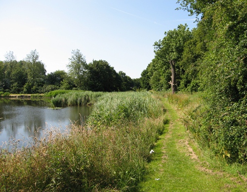
The Nollenstrook, a two-kilometre green buffer, was created in the 1970s between the Beverkoog business park and Sint Pancras. This wooded strip has been planted with a range of native trees and shrubs. Several fruit trees have been planted in the north: one small orchard of apples and another of pears. Feel free to pick any ripe fruit you spot on the branches. This nature-rich park is ideal for a walk during your lunch break. Take in some fresh air and enjoy the greenery and the animals that live here. There are three short walks and one slightly longer route, all marked with posts.
- The De Nollen Walk (yellow) follows the distinctive Herenweg, then Herenwegpad alongside the Nollen housing estate and Achtergeestpad with its private sheep pastures.
- The Neighbourhood Park Route (blue) passes Berenkoog and plenty of water. Along the edge of the Nollen Oost housing estate, you walk to De Nollen neighbourhood park, an ideal habitat for frogs and herons. Towards the west, the park becomes higher and drier. Butterflies flutter among its flower-rich vegetation.
- The Park Strip Route (red) partly follows the footpaths at Berenkoog and runs through the park strip. This route passes Hortus Alkmaar.
- The longer Nollen Route (purple) is also rich in water. You walk along the Beverkoog embankment and beside the Alkmaar (Omval)–Kolhorn Canal. The open landscape contrasts beautifully with the greenery of the Nollenstrook further west. Dogs are not permitted. No dogs allowed.