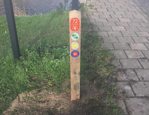
Gaasperplas Zuidoever (Beach) Starting Point

Routes from this starting point
-
Gaasperplasroute (oranje)
Unpaved path (partly) - 4.78km
-
Gaasperzoomroute (groen)
Unpaved path (partly) - 6.55km
The Gaasperplas lake is a quarry, the sand of which was used for the construction of the Bijlmermeer district. In the early 1980s, the north side of the lake was transformed into a green Floriade, an international forestry and horticultural exhibition with a small train and a viewing platform. Later this became the Gaasperplas recreational area, with a few reminders of the Floriade. South of the lake, along the still agricultural part of the Gein and Gaasp polder, lies the Gaasperzoom recreational area. It was built in the 1990s on former sand deposits, which have since been reclaimed by nature.
- The Gaasperplasroute (orange) is a surprisingly diverse walk around the lake, with varied trees such as beech, linden, elm, birch, six types of oak and many types of shrubs. The water in the Gaasperplas is remarkably clear and is good for swimming and fishing. Over the course of time, beaches, marinas and surf jetties have been developed around the lake. On the eastern side you will find Langerlust farm (now a café), one of the last vestiges of the polder years gone by.
- The Gaasperzoomroute (green) runs through the eponymous nature reserve on the eastern side of the Gein district. Gascon cattle, a breed originally from the Pyrenees that can withstand harsh weather conditions, have grazed here since 2013. The name Hollandsche Kade has been around since 1285 and refers to the political and constitutional border between the County of Holland in the north and the Amstelland, a fiefdom of Utrecht at the time.

