
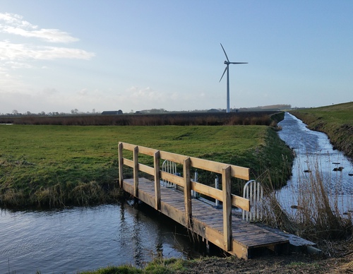
Aartswoud Route
Rate this route
The green Aartswoud Route partly follows the Trambaan Route and continues to the medieval Langereis drainage canal and the Groene Pade of Aartswoud. It returns to the starting point along the grass dyke beside the Groetkanaal and across farmland, thanks to the cooperation of the farmers Boekhorst and De Heer and landowner De Wit. The route is waymarked in both directions with green arrows.
Note: Some grass dykes on the route can be difficult to walk because they are mown only twice a year. Just before mowing, the grass can be very high. Mowing takes place between 1 June and mid-July and between 1 September and 10 October, to minimise disturbance to nature.
-
 To add this route in the app: scan the QR code from within the app. or enter the route number 46705 in.
 - 14.71 km
-
 Closed route
-
 Soon-to-be closed route
-
 Reports
-
 Hike point
-
 Starting point
-
 One-way path
Scroll the table below horizontally to see more

| From | To | Segment length | Marking(s) | Characteristics | Reports |
|---|---|---|---|---|---|
|
Starting point winkel |
3.79 km |
|
|
||
| 3.39 km |
|
|
|||
| 0.74 km |
|
|
|||
| 2.54 km |
|
|
|||
| 2.4 km |
|
|
|||
|
Starting point winkel |
1.65 km |
|
|