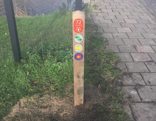
Abcoudermeerroute (red)
Unpaved path (partly)
Rate this route
The Abcoudermeerroute (red) is a short walk that winds through the recreational area along paved and unpaved paths. On the south side you walk along the Abcoudermeer lake, which was possibly created in around 1400 BC by the Zuiderzee bay breaking through.
-
To add this route in the app: scan the QR code from within the app. or enter the route number 131973 in.
- 3.19 km
-
 Closed route
-
 Soon-to-be closed route
-
 Reports
-
 Hike point
-
 Starting point
-
 One-way path
Scroll the table below horizontally to see more
| From | To | Segment length | Marking(s) | Characteristics | Reports |
|---|---|---|---|---|---|
|
De hoge dijk starting point [top] |
0.04 km |
|
|
|
|
| 0.52 km |
|
|
|
||
| 0.32 km |
|
|
|
||
| 0.63 km |
|
|
|
||
| 0.74 km |
|
|
|
||
| 0.27 km |
|
|
|
||
| 0.52 km |
|
|
|
||
|
De hoge dijk starting point [top] |
0.15 km |
|
|
|


![De Hoge Dijk Starting point [TOP]](/grfx/startpunten/punt_60.png)