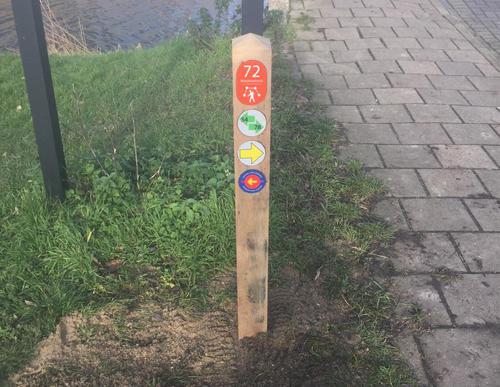
Amstel Riverbank Path (blue)
Unpaved path (partly)
Rate this route
The Amsteloeverpad or Amstel Riverbank Path (blue) passes through the Martin Luther Kingpark on the west bank. The route then follows the towpath along the waterfront and passes the Zorgvlied cemetery. Cross the Amstel along the A10 via the Rozenoordbrug. The eastern bank has nice paths through the young Oeverbos park and finally you follow the Korte Oudekerkerkerdijk, the part of the dike where the river is at its widest.
-
To add this route in the app: scan the QR code from within the app. or enter the route number 132520 in.
- 6.07 km
-
 Closed route
-
 Soon-to-be closed route
-
 Reports
-
 Hike point
-
 Starting point
-
 One-way path
Scroll the table below horizontally to see more
| From | To | Segment length | Marking(s) | Characteristics | Reports |
|---|---|---|---|---|---|
|
Amsterdam amstel station starting point |
0.56 km |
|
|
|
|
| 2.43 km |
|
|
|
||
| 0.49 km |
|
|
|
||
| 0.15 km |
|
|
|
||
| 2.26 km |
|
|
|
||
|
Amsterdam amstel station starting point |
0.18 km |
|
|
|


