Bijlmerweideroute (green)
Unpaved path (partly)
Good
1 Ratings
Rate this route
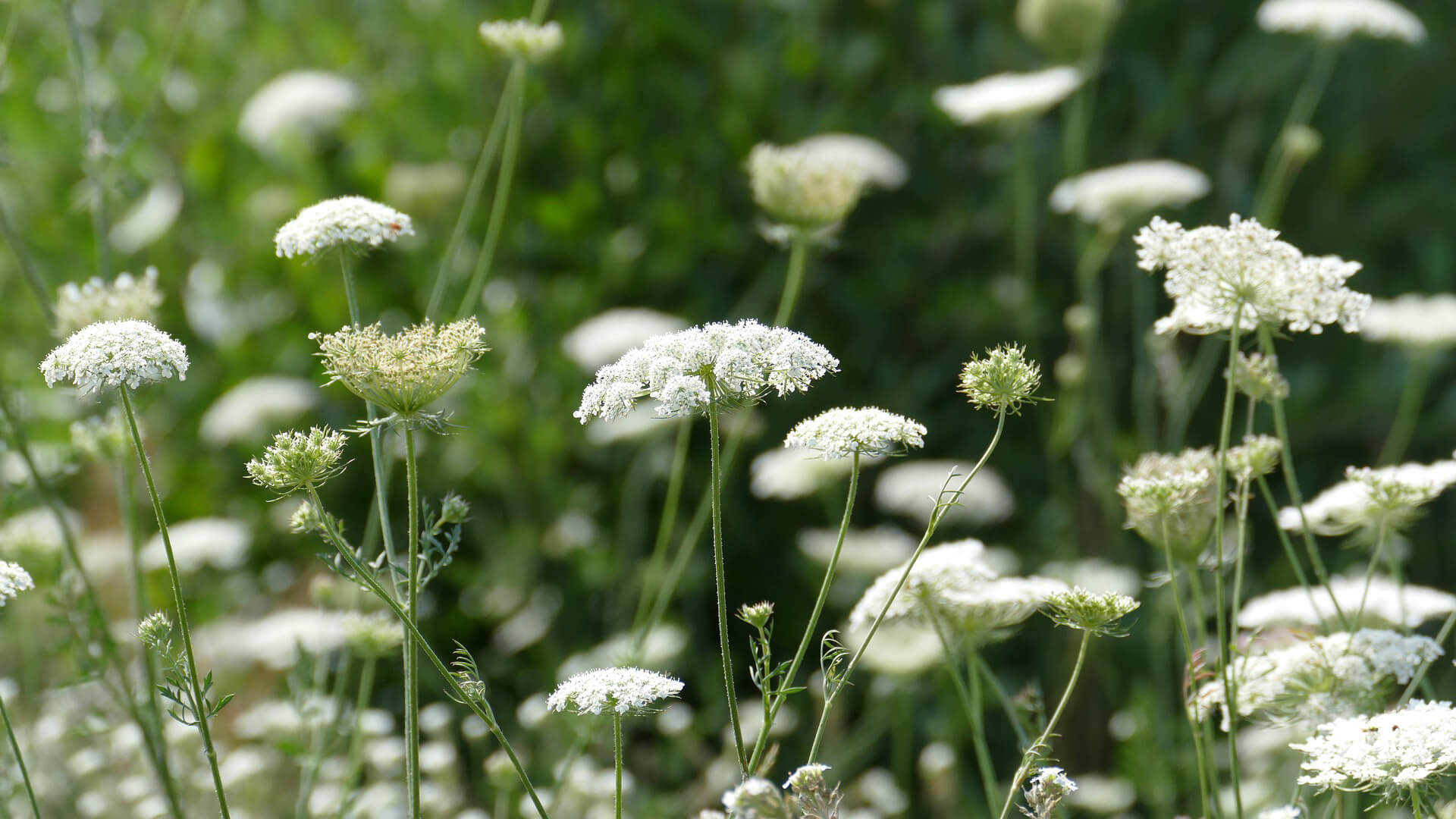
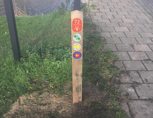
The Bijlmerweideroute (green) goes a step further and passes through the green edge of the Bijlmer, the Bijlmerweide. Then follow the Veeneikbrug bridge over the canal and end up in the Diemerbos park via roads along the banks. Return via the Penbos marshland, the Diem river and Diembrug bridge.
-
To add this route in the app: scan the QR code from within the app. or enter the route number 87207 in.
- 9.22 km
-
 Closed route
-
 Soon-to-be closed route
-
 Reports
-
 Hike point
-
 Starting point
-
 One-way path
Scroll the table below horizontally to see more
| From | To | Segment length | Marking(s) | Characteristics | Reports |
|---|---|---|---|---|---|
|
Diemen-zuid station starting point |
0.12 km |
|
|
|
|
| 1.08 km |
|
|
|
||
| 0.48 km |
|
|
|
||
| 0.11 km |
|
|
|
||
| 0.48 km |
|
|
|
||
| 0.79 km |
|
|
|
||
| 0.74 km |
|
|
|
||
| 0.65 km |
|
|
|
||
|
Diemerbos starting point [top] |
0.58 km |
|
|
|
|
|
Diemerbos starting point [top] |
0.06 km |
|
|
|
|
| 0.48 km |
|
|
|
||
| 0.34 km |
|
|
|
||
| 1.06 km |
|
|
|
||
|
Diemen-zuid station starting point |
2.43 km |
|
|
|


