
Boomgaardenroute (oranje)
Moderate
4 Ratings
Rate this route
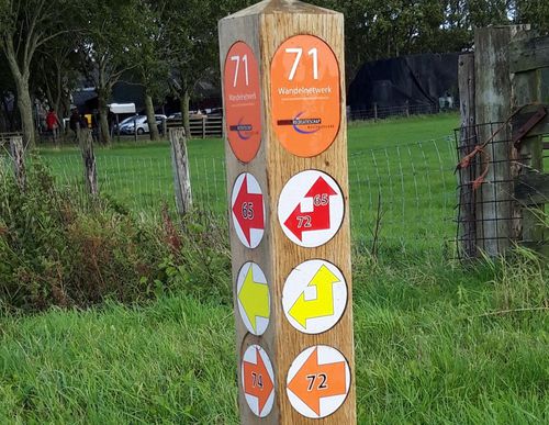
De Boomgaardenroute (oranje) voert door de dorpen Hem en Wijdenes en is een verlengde versie van de blauwe route. Bijzonder is het weilandpad vanaf de Blokdijk door een ‘droge’ waterberging van het hoogheemraadschap.
-
 To add this route in the app: scan the QR code from within the app. or enter the route number 96730 in.
 - 9.72 km
-
 Closed route
-
 Soon-to-be closed route
-
 Reports
-
 Hike point
-
 Starting point
-
 One-way path
Scroll the table below horizontally to see more

| From | To | Segment length | Marking(s) | Characteristics | Reports |
|---|---|---|---|---|---|
|
Startpunt hem |
1.29 km |
|
|
||
| 1.95 km |
|
|
|||
| 1.07 km |
|
|
|||
| 1.36 km |
|
|
|||
| 2.4 km |
|
|
|||
| 1.22 km |
|
|
|||
|
Startpunt hem |
0.44 km |
|
|