Bornholm Route (black)
Unpaved path (partly)
Rate this route
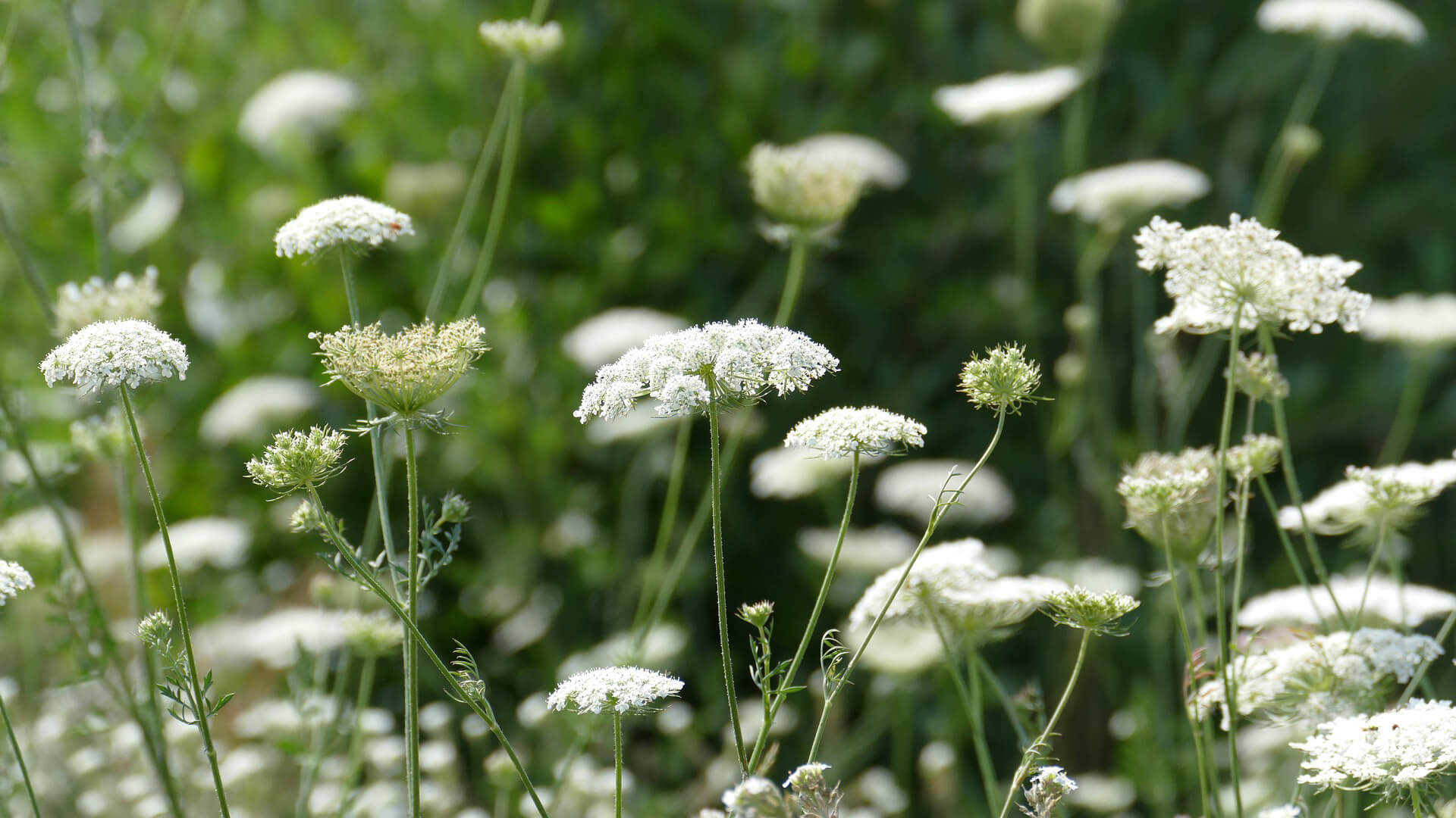
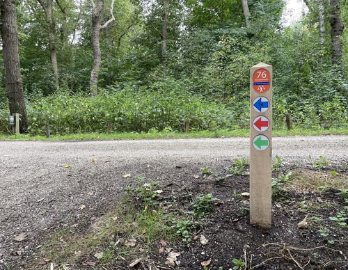
- The Bornholm Route (black) in Hoofddorp connects remarkably green, winding paths through and around the Bornholm and Pax districts with the Geniedijk (military dike) and the Haarlemmermeerse Bos. The trip passes the Historical Museum Haarlemmermeer. Along the top the Geniedijk you walk on a somewhat uneven grass path, which is sometimes shared with sheep.
-
To add this route in the app: scan the QR code from within the app. or enter the route number 187831 in.
- 7.17 km
-
 Closed route
-
 Soon-to-be closed route
-
 Reports
-
 Hike point
-
 Starting point
-
 One-way path
Scroll the table below horizontally to see more
| From | To | Segment length | Marking(s) | Characteristics | Reports |
|---|---|---|---|---|---|
|
Starting point 't paradijs hoofddorp |
0.44 km |
|
|
|
|
| 1.78 km |
|
|
|
||
| 0.86 km |
|
|
|
||
| 0.63 km |
|
|
|
||
| 1.35 km |
|
|
|
||
| 1.68 km |
|
|
|
||
|
Starting point 't paradijs hoofddorp |
0.44 km |
|
|
|


