Bovenkerker Polder Route (green)
Average
2 Ratings
Rate this route
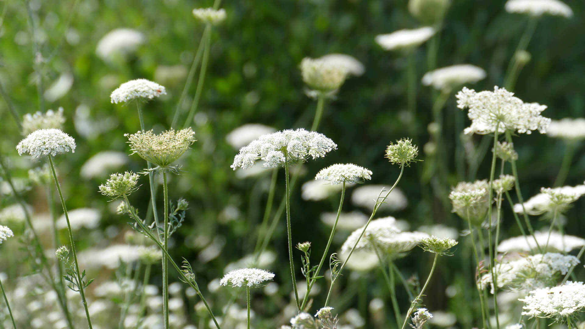
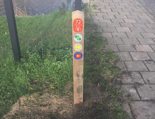
The Bovenkerker Polder Route (green) crosses the deep polder via two farmland paths. These two grass paths more than make up for the unpleasant cycle path along the Bovenkerkerweg. The name of the cable ferry at the Middenweg, called Maria Johanna Petronella, has a romantic origin. Once upon a time, the farmer built the ferry so he could get to his sweetheart in Nes faster. Please note that dogs are not allowed here and the route is not accessible during breeding season.
-
To add this route in the app: scan the QR code from within the app. or enter the route number 132457 in.
- 9.78 km
-
 Closed route
-
 Soon-to-be closed route
-
 Reports
-
 Hike point
-
 Starting point
-
 One-way path
| From | To | Segment length | Marking(s) | Characteristics | Reports |
|---|---|---|---|---|---|
|
Starting point amstelveen brink |
0.97 km |
|
|
|
|
| 0.26 km |
|
|
|
||
| 1.33 km |
|
|
|
||
| 0.87 km |
|
|
|
||
| 1.37 km |
|
|
|
||
| 0.8 km |
|
|
|
||
| 2.6 km |
|
|
|
||
| 1.08 km |
|
|
|
||
|
Starting point amstelveen brink |
0.51 km |
|
|
|


