
Dolfijnenroute (geel)
Moderate
2 Ratings
Rate this route
The Dolfijnen Route (yellow) from Middenmeer extends the red route along more farm tracks, running straight across the fields to the Dolfijntocht and the Westerterptocht. This section is made possible thanks to the cooperation of the farmers Niek and Ernst Granneman, Frank Hoitink, Ane van Straten, Sam Ruijter, Arno Huybregts and Ben Top’s Poldertours.
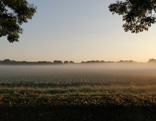
There was a time when the Wieringermeerpolder did not yet exist and the former island of Wieringen lay in the often rough waters of the Zuiderzee. The water between the mainland of Noord-Holland and the old Wieringen has since disappeared through reclamation, but local place names still recall these earlier times. This is also the case with Dolfijnweg and Dolfijntocht; both streets take their names from a group of porpoises that remained in the water during the drainage of the polder. The route is waymarked in both directions with yellow arrows.
-
 To add this route in the app: scan the QR code from within the app. or enter the route number 55938 in.
 - 7.07 km
-
 Closed route
-
 Soon-to-be closed route
-
 Reports
-
 Hike point
-
 Starting point
-
 One-way path

| From | To | Segment length | Marking(s) | Characteristics | Reports |
|---|---|---|---|---|---|
|
Starting point middenmeer |
0.68 km |
|
|
||
| 0.87 km |
|
|
|||
| 1.18 km |
|
|
|||
| 1.23 km |
|
|
|||
| 0.5 km |
|
|
|||
| 1.79 km |
|
|
|||
| 0.81 km |
|
|
|||
|
Starting point middenmeer |
0.68 km |
|
|