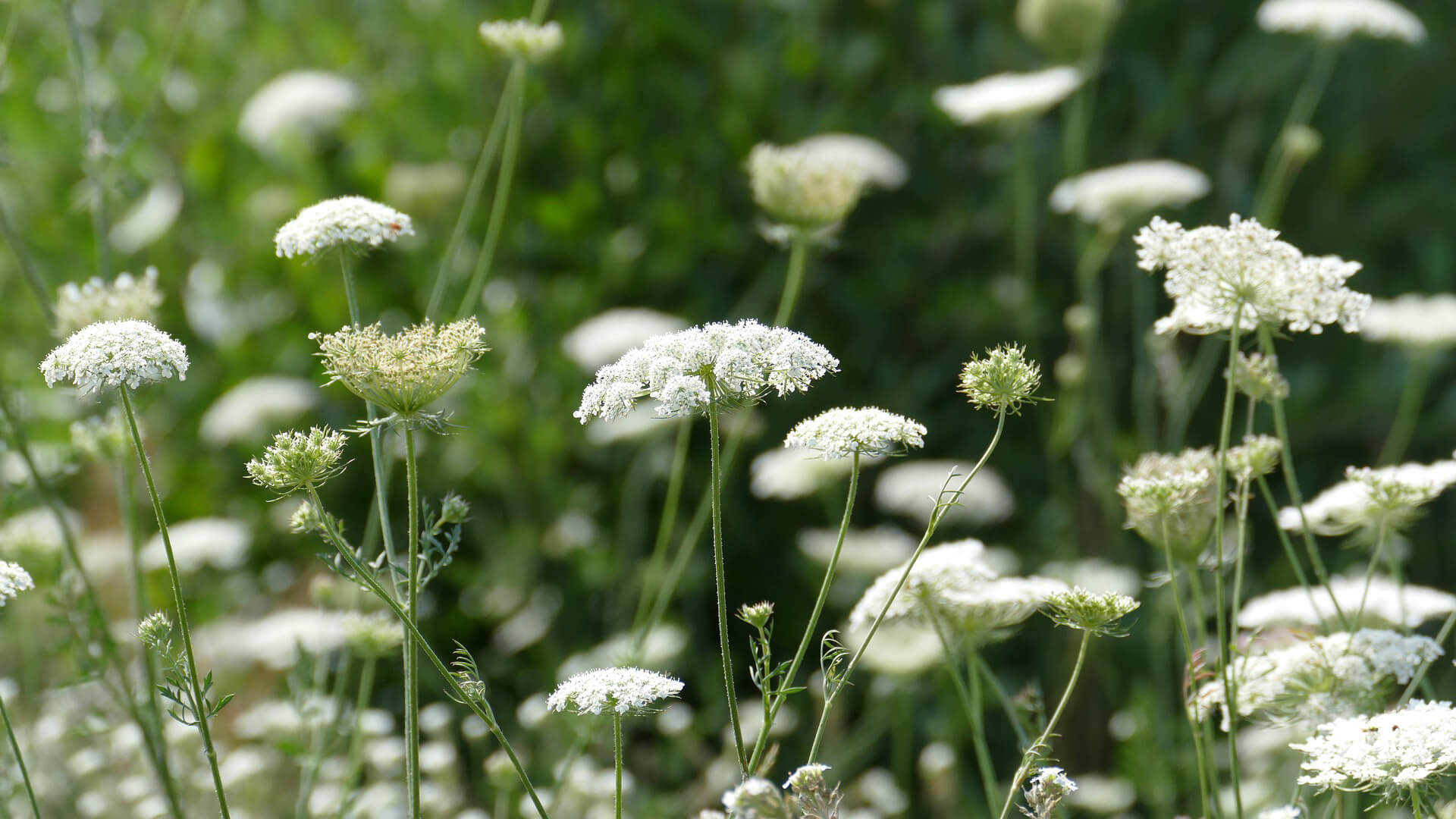
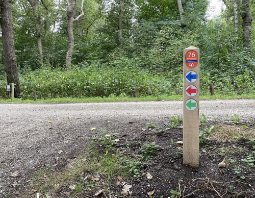
Doodweg Route (blue)
Good
2 Ratings
Rate this route
The Doodweg Route (blue) connects the church path through the meadows with the Tweede Doodweg between the bulb fields and the old village centre of Vogelenzang. The Doodweg once continued as part of the Buurweg between the abbeys of Rijnsburg and Egmond, a road that was supposed to be maintained by the ‘buren’ ('neighbours'), i.e. the residents. Before the church in Vogelenzang was built in 1861, Catholics brought their dead across this Doodweg to the cemetery in Overveen. The 'Tweede' (Second) is added because there was also a Doodweg in Aerdenhout.
-
To add this route in the app: scan the QR code from within the app. or enter the route number 190387 in.
- 3.47 km
-
 Closed route
-
 Soon-to-be closed route
-
 Reports
-
 Hike point
-
 Starting point
-
 One-way path
| From | To | Segment length | Marking(s) | Characteristics | Reports |
|---|---|---|---|---|---|
|
Starting point vogelenzang |
0.08 km |
|
|
|
|
| 0.25 km |
|
|
|
||
| 0.39 km |
|
|
|
||
| 0.38 km |
|
|
|
||
| 0.99 km |
|
|
|
||
| 0.67 km |
|
|
|
||
| 0.63 km |
|
|
|
||
|
Starting point vogelenzang |
0.08 km |
|
|
|


