
From Slufter to Kaap (green)
Rate this route
The From Slufter to Kaap linear walk (green) traverses the island and mainly crosses farmland in the polders of Eierland. It’s a delightful journey past fields and creeks between the Wadden Sea Dike and the North Sea. With its nature-friendly embankments, the Hogezandskil nature reserve has become a unique area for birds.
-
 To add this route in the app: scan the QR code from within the app. or enter the route number 236349 in.
 - 12.39 km
-
 Closed route
-
 Soon-to-be closed route
-
 Reports
-
 Hike point
-
 Starting point
-
 One-way path
Scroll the table below horizontally to see more


| From | To | Segment length | Marking(s) | Characteristics | Reports |
|---|---|---|---|---|---|
|
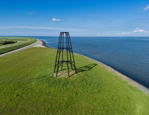
Ijzeren kaap |
0.16 km |
|
|
||
|
Ijzeren kaap |
0.16 km |
|
|
||
|
Ijzeren kaap |
0.94 km |
|
|
||
| 0.43 km |
|
|
|||
| 0.04 km |
|
|
|||
| 0.49 km |
|
|
|||
| 0.04 km |
|
|
|||
| 0.53 km |
|
|
|||
| 3.46 km |
|
|
|||
| 0.26 km |
|
|
|||
| 5.6 km |
|
|
|||
|
De slufter |
0.31 km |
|
|