
Gooiergrachtroute (rood)
Good
1 Ratings
Rate this route
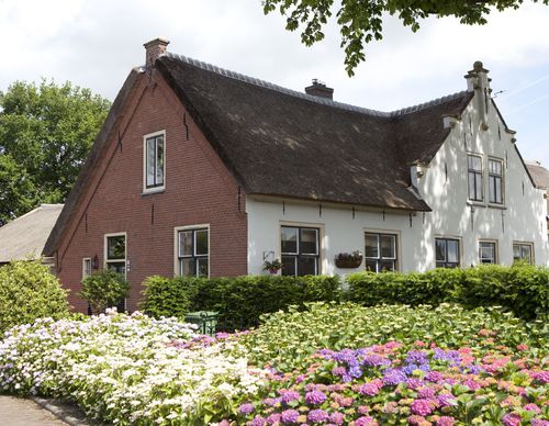
Volgt u de Gooiergrachtroute (rood) vanaf startpunt Blaricum, dan verkent u het dorp door villawijken op de oude eng zuidwaarts. Op de terugweg loopt u langs de kaarsrechte Gooiergracht, de grens met Utrecht sinds 1532.
-
 To add this route in the app: scan the QR code from within the app. or enter the route number 78985 in.
 - 5.18 km
-
 Closed route
-
 Soon-to-be closed route
-
 Reports
-
 Hike point
-
 Starting point
-
 One-way path
Scroll the table below horizontally to see more

| From | To | Segment length | Marking(s) | Characteristics | Reports |
|---|---|---|---|---|---|
|
Startpunt blaricum |
0.11 km |
|
|
||
| 0.41 km |
|
|
|||
| 0.07 km |
|
|
|||
| 2.17 km |
|
|
|||
| 1.41 km |
|
|
|||
| 0.52 km |
|
|
|||
|
Startpunt blaricum |
0.48 km |
|
|