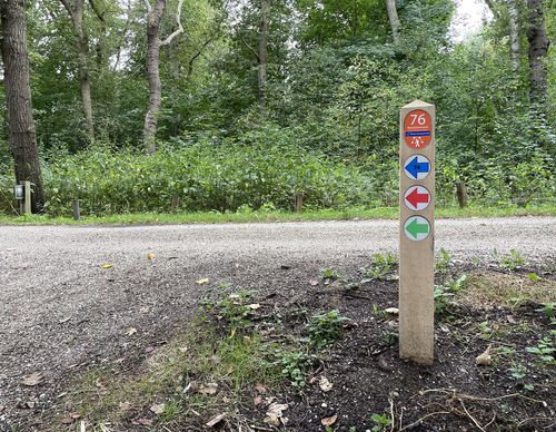
Haarlemmerliede Walk (blue
Unpaved path (partly)
Rate this route
The Haarlemmerliede Walk (blue) from starting point Haarlem-Spaarnwoude Station is a long walk that connects the church of Spaarnwoude with the rural village of Haarlemmerliede and with the Veerplas at Penningsveer. You’ll mainly walk on cycle paths. One of the two historic church paths is actually a path right through the meadows, so it can be a bit soggy!
-
To add this route in the app: scan the QR code from within the app. or enter the route number 189708 in.
- 10.54 km
-
 Closed route
-
 Soon-to-be closed route
-
 Reports
-
 Hike point
-
 Starting point
-
 One-way path
Scroll the table below horizontally to see more
| From | To | Segment length | Marking(s) | Characteristics | Reports |
|---|---|---|---|---|---|
|
Starting point haarlem-spaarnwoude station |
0.35 km |
|
|
|
|
|
Starting point veerplas haarlem (tourist transfer point) |
0.58 km |
|
|
|
|
|
Starting point veerplas haarlem (tourist transfer point) |
0.33 km |
|
|
|
|
| 0.07 km |
|
|
|
||
| 0.49 km |
|
|
|
||
| 2.58 km |
|
|
|
||
| 1.09 km |
|
|
|
||
| 1.72 km |
|
|
|
||
| 1.44 km |
|
|
|
||
| 0.68 km |
|
|
|
||
| 0.48 km |
|
|
|
||
| 0.38 km |
|
|
|
||
|
Starting point haarlem-spaarnwoude station |
0.35 km |
|
|
|


