
Holendrechtroute (zwart)
Good
6 Ratings
Rate this route
Dogs are allowed to be off-leash in certain parts of this route. Specific areas are indicated by signage from the municipality or land manager. Always follow the rules at the location and clean up after your dog.
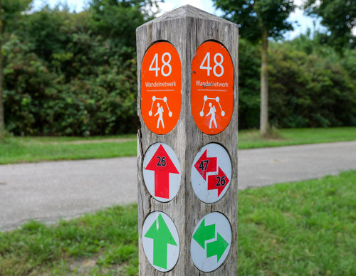
De Holendrechtroute (zwart) is een wat langere rondwandeling die de Ouderkerkerplas met recreatiegebied de Hoge Dijk in Amsterdam-Zuidoost verbindt. Heerlijk wandelen langs het veenriviertje de Holendrecht.
-
 To add this route in the app: scan the QR code from within the app. or enter the route number 132343 in.
 - 11.04 km
-
 Closed route
-
 Soon-to-be closed route
-
 Reports
-
 Hike point
-
 Starting point
-
 One-way path
Scroll the table below horizontally to see more

| From | To | Segment length | Marking(s) | Characteristics | Reports |
|---|---|---|---|---|---|
|
Starting point ouderkerkerplas (tourist transfer point) |
0.25 km |
|
|
||
| 0.74 km |
|
|
|||
| 1.55 km |
|
|
|||
| 1.06 km |
|
|
|||
| 0.73 km |
|
|
|||
|
De hoge dijk starting point [top] |
0.04 km |
|
|
||
|
De hoge dijk starting point [top] |
0.15 km |
|
|
||
| 0.52 km |
|
|
|||
| 0.27 km |
|
|
|||
| 1.69 km |
|
|
|||
| 0.92 km |
|
|
|||
| 1.88 km |
|
|
|||
| 0.29 km |
|
|
|||
| 1.36 km |
|
|
|||
|
Starting point ouderkerkerplas (tourist transfer point) |
0.25 km |
|
|