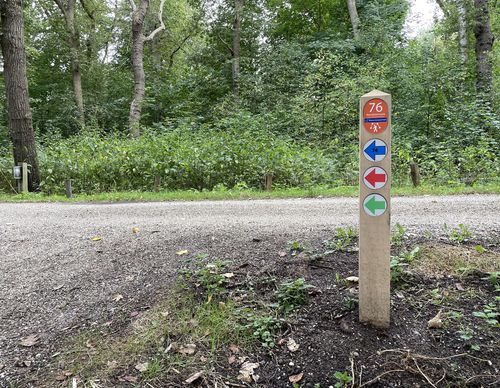
Jamboree Route (red)
Unpaved path (partly)
No dogs allowed
Rate this route
The Jamboree Route (red) is named after the World Jamboree the Boy Scouts held here in 1937. The meadows were insufficient for this festival, so people even ended up camping on the Leyduin estate. The route passes the Teylingerbosch and 't Huis the Vogelenzang estates and along the old centre of the village and its eastern edges.
-
To add this route in the app: scan the QR code from within the app. or enter the route number 190389 in.
- 4.70 km
-
 Closed route
-
 Soon-to-be closed route
-
 Reports
-
 Hike point
-
 Starting point
-
 One-way path
Scroll the table below horizontally to see more
| From | To | Segment length | Marking(s) | Characteristics | Reports |
|---|---|---|---|---|---|
|
Starting point vogelenzang |
0.08 km |
|
|
|
|
| 0.63 km |
|
|
|
||
| 0.67 km |
|
|
|
||
| 0.57 km |
|
|
|
||
| 0.39 km |
|
|
|
||
| 0.07 km |
|
|
|
||
| 0.5 km |
|
|
|
||
| 1.48 km |
|
|
|
||
| 0.25 km |
|
|
|
||
|
Starting point vogelenzang |
0.08 km |
|
|
|


