
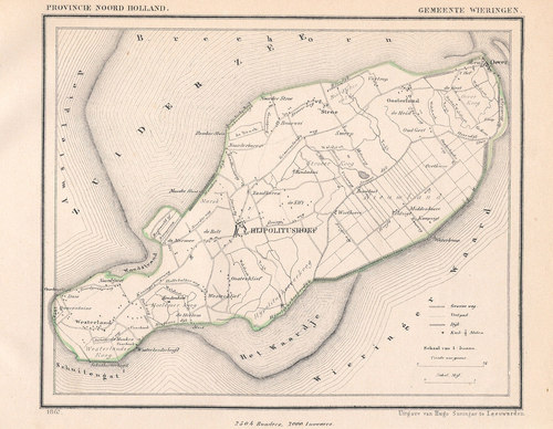
Kliffen Route (orange)
Good
6 Ratings
Rate this route
The orange Kliffen Route runs along the Marskeweg to the Wadden Sea dyke and then continues into the gently rising cliff area south of Hippo. Vikings are thought to have lived here, as evidenced by silver hoards uncovered in the 1990s. The route then runs along the Hoelmerdijk, an old dyke built from compressed eelgrass, and across the low-lying reclaimed land of Hippo, with its pastures and former duck decoys. The route is waymarked in both directions with orange arrows.
-
 To add this route in the app: scan the QR code from within the app. or enter the route number 47454 in.
 - 9.26 km
-
 Closed route
-
 Soon-to-be closed route
-
 Reports
-
 Hike point
-
 Starting point
-
 One-way path
Scroll the table below horizontally to see more
| From | To | Segment length | Marking(s) | Characteristics | Reports |
|---|---|---|---|---|---|
|
Starting point hippolytushoef |
0.05 km |
|
|
||
| 1.21 km |
|
|
|||
| 1 km |
|
|
|||
| 1.13 km |
|
|
|||
| 0.15 km |
|
|
|||
| 1.18 km |
|
|
|||
| 0.53 km |
|
|
|||
| 0.4 km |
|
|
|||
| 1.3 km |
|
|
|||
| 1.82 km |
|
|
|||
| 0.32 km |
|
|
|||
| 0.27 km |
|
|
|||
|
Starting point hippolytushoef |
0.05 km |
|
|