
Leijenroute (black)
Rate this route
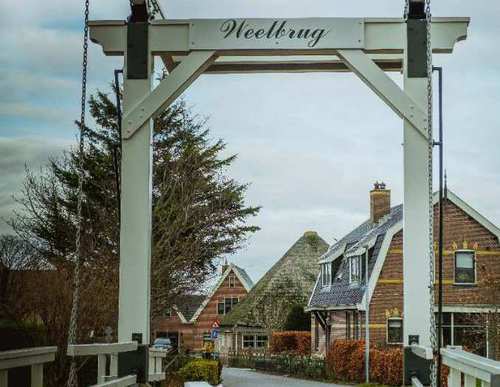
The black Leijen Route runs alongside the Rondje Waarland at first, then turns right at the Weelbrug towards ’t Veld. It continues along the grass verge beside the tree-lined Leijerpolderweg and along the grass dyke on the north bank of the canal. The route is waymarked in both directions with black arrows.
-
 To add this route in the app: scan the QR code from within the app. or enter the route number 55903 in.
 - 8.57 km
-
 Closed route
-
 Soon-to-be closed route
-
 Reports
-
 Hike point
-
 Starting point
-
 One-way path
Scroll the table below horizontally to see more

| From | To | Segment length | Marking(s) | Characteristics | Reports |
|---|---|---|---|---|---|
|
Starting point 't verlaat |
0.5 km |
|
|
||
| 0.26 km |
|
|
|||
| 1.86 km |
|
|
|||
| 3.67 km |
|
|
|||
| 1.04 km |
|
|
|||
| 1.24 km |
|
|
|||
| 0.26 km |
|
|
|||
|
Starting point 't verlaat |
0.5 km |
|
|