
Meer Route (blue)
Rate this route
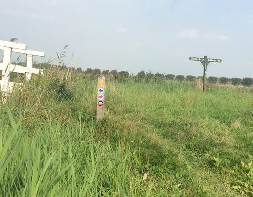
The blue Meer Route is a circular walk along shell paths and grass embankments around the Meertje van Dirkshorn, a water storage area in the Koetenburgpolder. It then runs past the sports fields along the green eastern embankment of the Voorpolder. This route is waymarked in both directions with blue arrows.
-
 To add this route in the app: scan the QR code from within the app. or enter the route number 52144 in.
 - 2.73 km
-
 Closed route
-
 Soon-to-be closed route
-
 Reports
-
 Hike point
-
 Starting point
-
 One-way path
Scroll the table below horizontally to see more

| From | To | Segment length | Marking(s) | Characteristics | Reports |
|---|---|---|---|---|---|
|
Starting point dirkshorn |
0.91 km |
|
|
||
| 0.91 km |
|
|
|||
|
Starting point dirkshorn |
0.9 km |
|
|