
Muy- en Slufterbollenroute (orange)
Rate this route
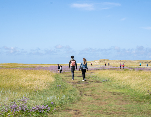
The Muy and Slufterbollen Route (orange) connects the Slufter with the forest near De Koog. You walk along a unique stretch of beach and through a young dune area with high dune tops and freshwater creeks.
-
 To add this route in the app: scan the QR code from within the app. or enter the route number 236015 in.
 - 11.34 km
-
 Closed route
-
 Soon-to-be closed route
-
 Reports
-
 Hike point
-
 Starting point
-
 One-way path
Scroll the table below horizontally to see more

| From | To | Segment length | Marking(s) | Characteristics | Reports |
|---|---|---|---|---|---|
|
De slufter |
0.15 km |
|
|
||
| 0.17 km |
|
|
|||
| 0.69 km |
|
|
|||
| 0.61 km |
|
|
|||
| 3.14 km |
|
|
|||
| 0.85 km |
|
|
|||
|
Paal 21 |
0.2 km |
|
|
||
| 1.37 km |
|
|
|||
| 1.7 km |
|
|
|||
| 0.65 km |
|
|
|||
| 0.57 km |
|
|
|||
| 0.42 km |
|
|
|||
| 0.17 km |
|
|
|||
|
De slufter |
0.15 km |
|
|