
Neeltjesnol Route (orange)
Rate this route
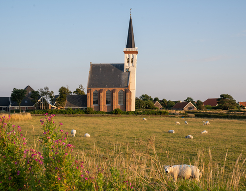
The Neeltjesnol Route (orange) leads south to the dune top overlooking the mudflats of Mok Bay, which is a bird paradise. Cross colourful polders and the dune edge, visit Lap's ‘boet’ (sheep farm) and enjoy the view at the bunker on Loodsmansduin.
-
 To add this route in the app: scan the QR code from within the app. or enter the route number 236326 in.
 - 7.98 km
-
 Closed route
-
 Soon-to-be closed route
-
 Reports
-
 Hike point
-
 Starting point
-
 One-way path
Scroll the table below horizontally to see more

| From | To | Segment length | Marking(s) | Characteristics | Reports |
|---|---|---|---|---|---|
|
Den hoorn |
0.07 km |
|
|
||
| 0.28 km |
|
|
|||
| 0.93 km |
|
|
|||
| 0.74 km |
|
|
|||
| 0.48 km |
|
|
|||
| 0.7 km |
|
|
|||
| 0.12 km |
|
|
|||
| 1.54 km |
|
|
|||
| 0.82 km |
|
|
|||
| 0.96 km |
|
|
|||
| 0.08 km |
|
|
|||
| 0.15 km |
|
|
|||
| 0.31 km |
|
|
|||
| 0.73 km |
|
|
|||
|
Den hoorn |
0.07 km |
|
|