
Noordduinen Route (purple)
Rate this route
The purple Noordduinen Route runs south through the Noordduinen, turning at the Callantsogervaart and returning along the green western edge of Julianadorp. In the opposite direction, the same landscapes are experienced from a different perspective. This route is waymarked in both directions with purple arrows.
-
 To add this route in the app: scan the QR code from within the app. or enter the route number 51383 in.
 - 8.47 km
-
 Closed route
-
 Soon-to-be closed route
-
 Reports
-
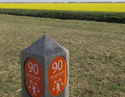
 Hike point
-
 Starting point
-
 One-way path
Scroll the table below horizontally to see more

| From | To | Segment length | Marking(s) | Characteristics | Reports |
|---|---|---|---|---|---|
|
Starting point de zandloper |
0.61 km |
|
|
||
| 0.69 km |
|
|
|||
| 0.65 km |
|
|
|||
| 0.61 km |
|
|
|||
| 1.35 km |
|
|
|||
| 1.84 km |
|
|
|||
| 1.11 km |
|
|
|||
| 0.43 km |
|
|
|||
| 0.05 km |
|
|
|||
| 1.01 km |
|
|
|||
|
Starting point de zandloper |
0.12 km |
|
|