
Nuwendore circular walk (yellow)
Average
1 Ratings
Rate this route
The circular walk runs through the medieval village of Eenigenburg, built on raised mounds, to the Huys te Nuwendore, then along a farm track to the Westfriese Zeedijk, also known as the Omringdijk. A visit to the Eenigenburg Museum offers fascinating insights into how people lived here in the past.
The Huys te Nuwendore was built around 1282 as a fortress by Floris V, Count of Holland, to keep the rebellious West Frisians in check. The fortress was washed away in a dyke breach in 1375. In 2011 it was partly reconstructed with a transparent lookout tower, well worth climbing for the view.
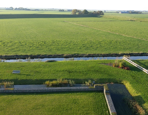
Between the Huys te Nuwendore and the Westfriese Omringdijk, the route runs along a farm track across grazing land. Livestock may be present in summer, and the track may occasionally be closed; this is indicated on site. A short diversion along Burchtweg and Trambaan to Krabbendam allows the route to continue.
At marker 68, the route reaches the Burgerwielen. These two round pools are silent witnesses to dyke breaches, probably dating from the 16th century. Today they form a protected nature area and are a characteristic feature of the Westfriese Omringdijk.
-
 To add this route in the app: scan the QR code from within the app. or enter the route number 24765 in.
 - 5.01 km
-
 Closed route
-
 Soon-to-be closed route
-
 Reports
-
 Hike point
-
 Starting point
-
 One-way path

| From | To | Segment length | Marking(s) | Characteristics | Reports |
|---|---|---|---|---|---|
|
Starting point eenigenburg |
1.41 km |
|
|
||
| 0.96 km |
|
|
|||
| 1.25 km |
|
|
|||
| 0.38 km |
|
|
|||
| 0.53 km |
|
|
|||
| 0.34 km |
|
|
|||
|
Starting point eenigenburg |
0.14 km |
|
|