
Orange Buitenplaats Route
Good
1 Ratings
Rate this route
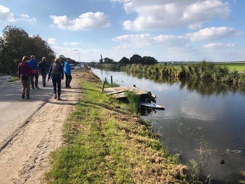
The orange Buitenplaats Route runs along the old Selschardijk in the hamlet of Zijbelhuizen towards Eenigenburg. It continues along a farm track at the De Buitenplaats farm campsite and through the attractive northern fork of Warmenhuizen: De Fuik (formerly a dead end) and the Oostwal.
-
 To add this route in the app: scan the QR code from within the app. or enter the route number 30511 in.
 - 5.65 km
-
 Closed route
-
 Soon-to-be closed route
-
 Reports
-
 Hike point
-
 Starting point
-
 One-way path
Scroll the table below horizontally to see more

| From | To | Segment length | Marking(s) | Characteristics | Reports |
|---|---|---|---|---|---|
|
Starting point tuitjenhorn |
0.14 km |
|
|
||
| 0.71 km |
|
|
|||
| 1 km |
|
|
|||
| 0.55 km |
|
|
|||
| 1.94 km |
|
|
|||
|
Starting point tuitjenhorn |
1.33 km |
|
|