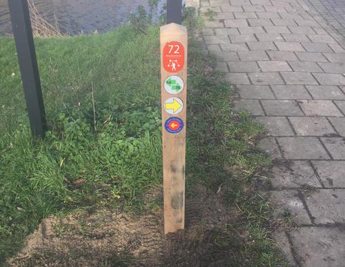
Pancrasroute (orange)
Unpaved path (partly)
Good
1 Ratings
Rate this route
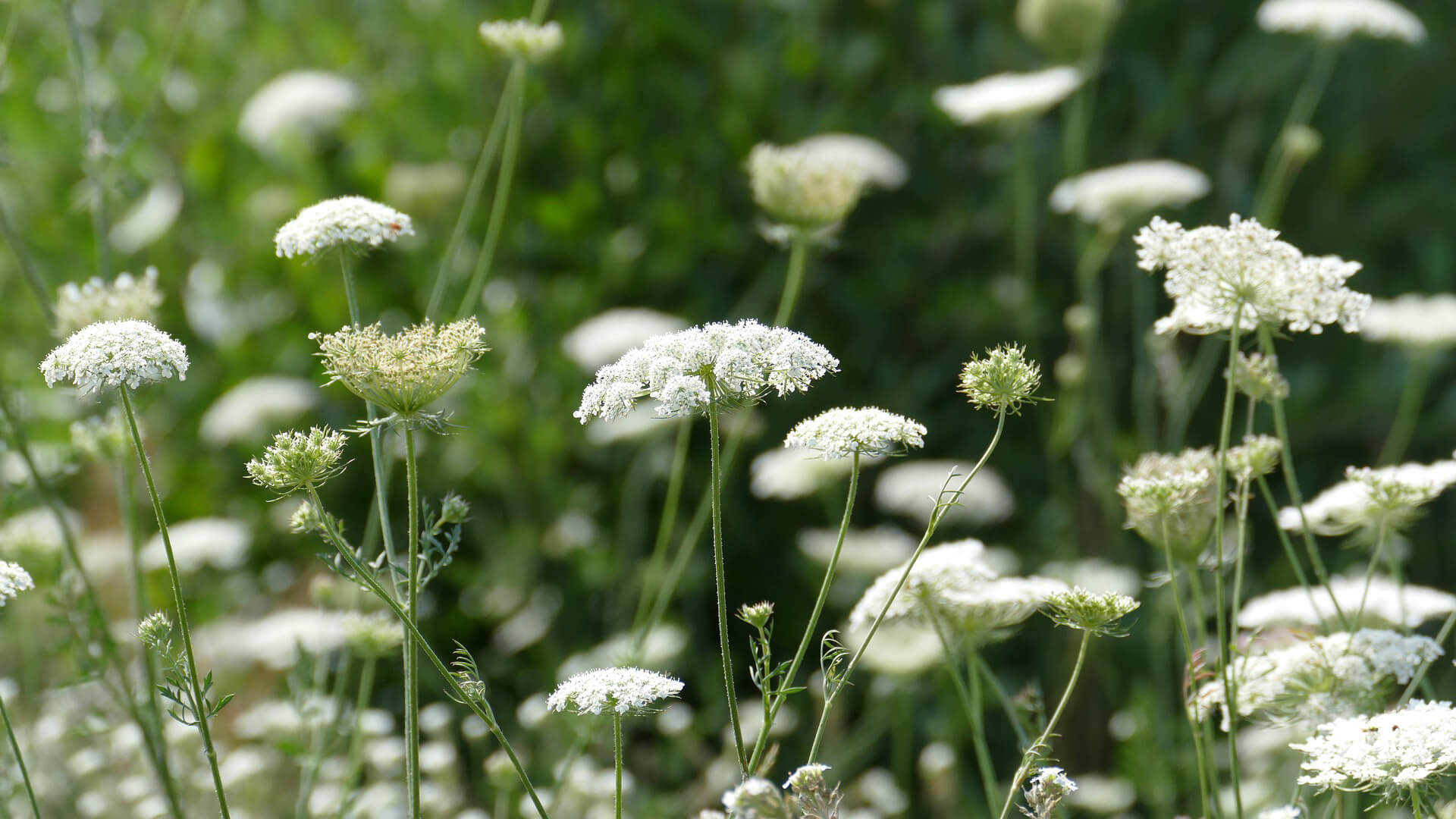
The Pancrasroute (orange) passes through the southern part of the Middelpolder. This used to be the location of the small Pancrasmeer lake, which made way for meadows and then the recreational forest after the impoldering.
-
To add this route in the app: scan the QR code from within the app. or enter the route number 132353 in.
- 3.95 km
-
 Closed route
-
 Soon-to-be closed route
-
 Reports
-
 Hike point
-
 Starting point
-
 One-way path
Scroll the table below horizontally to see more
| From | To | Segment length | Marking(s) | Characteristics | Reports |
|---|---|---|---|---|---|
|
Elsenhove amstelveen starting point (touris transfer point) |
0.19 km |
|
|
|
|
| 0.69 km |
|
|
|
||
| 0.3 km |
|
|
|
||
| 0.71 km |
|
|
|
||
| 0.24 km |
|
|
|
||
| 0.14 km |
|
|
|
||
| 0.37 km |
|
|
|
||
| 0.35 km |
|
|
|
||
| 0.77 km |
|
|
|
||
|
Elsenhove amstelveen starting point (touris transfer point) |
0.19 km |
|
|
|


