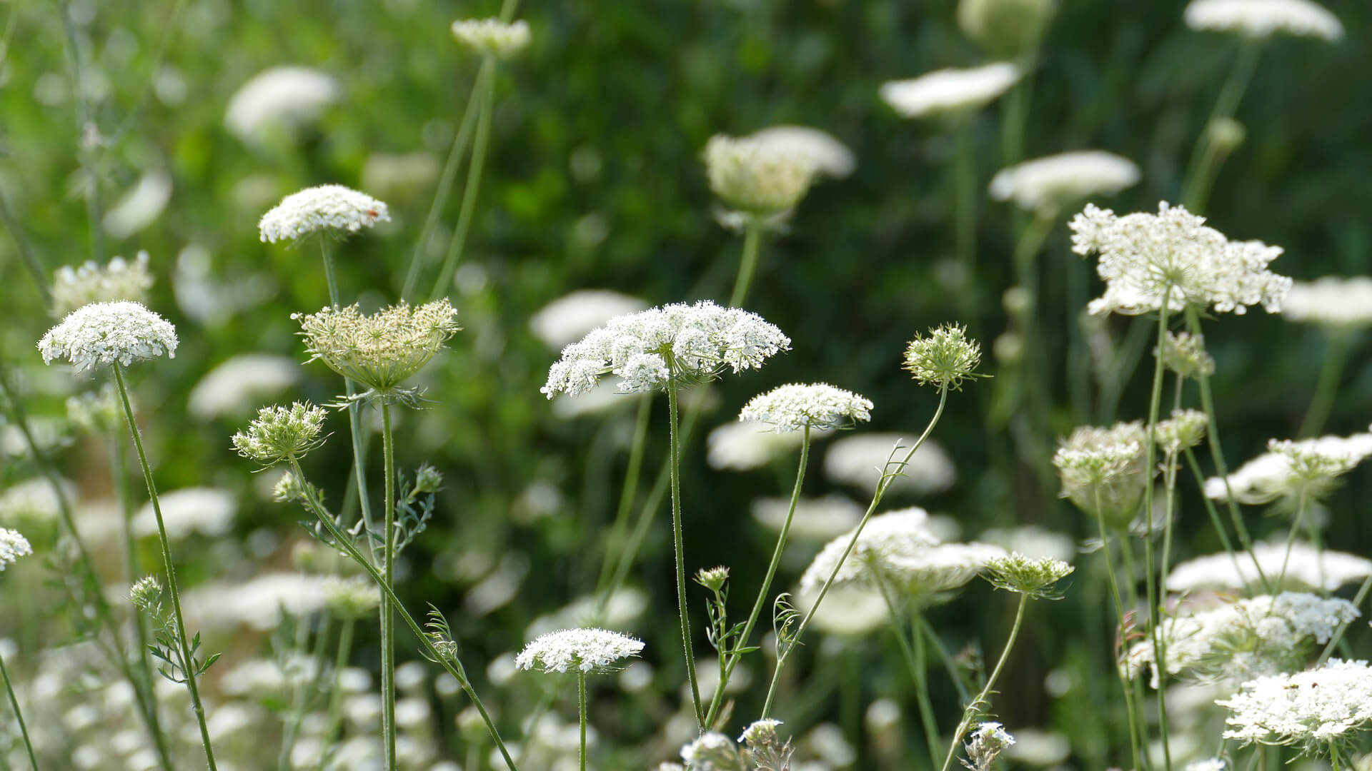
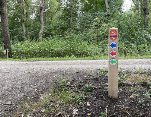
PARK21 Route (green)
Average
3 Ratings
Rate this route
The PARK21 Route (green) leads through the outlying area between Hoofddorp and Nieuw-Vennep. A beautiful park design has been created for this area, parts of which are in different states of development. The landscape and the experience of the route will change considerably over the years. You can really enjoy the outdoors along the Toolenburgerplas, on the grassy eastern side of the bus lane, on the Nieuwe Vennep estate and in the park and amongst the brushland in the southern Meerbos Zwaansbroek, in the vicinity of the Pioniers sports fields.
-
To add this route in the app: scan the QR code from within the app. or enter the route number 189724 in.
- 11.94 km
-
 Closed route
-
 Soon-to-be closed route
-
 Reports
-
 Hike point
-
 Starting point
-
 One-way path
| From | To | Segment length | Marking(s) | Characteristics | Reports |
|---|---|---|---|---|---|
|
Starting point tooleburg hoofddorp |
0.27 km |
|
|
|
|
| 0.79 km |
|
|
|
||
| 0.75 km |
|
|
|
||
| 1.34 km |
|
|
|
||
| 0.58 km |
|
|
|
||
| 0.49 km |
|
|
|
||
| 0.08 km |
|
|
|
||
| 0.47 km |
|
|
|
||
| 2.17 km |
|
|
|
||
| 1.12 km |
|
|
|
||
| 2.49 km |
|
|
|
||
| 0.65 km |
|
|
|
||
| 0.45 km |
|
|
|
||
|
Starting point tooleburg hoofddorp |
0.27 km |
|
|
|


