
Princenhofroute (rood)
Rate this route
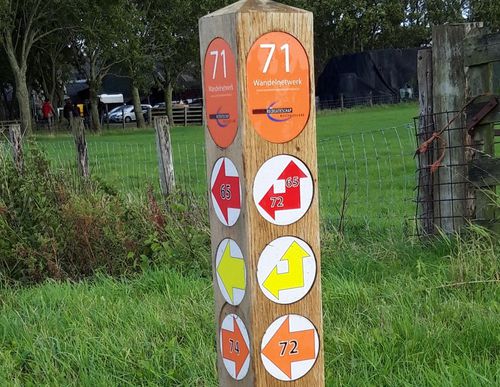
De Princenhofroute (rood) voert rond ‘Plan Zuid’, de nieuwbouwwijk ten zuiden van de spoorlijn van Grootebroek en Bovenkarspel. Rond de buurten Kloosterhof, Oostersluis en Princenhof liggen wandelpaden in groenstroken, die samen een leuk ommetje vormen. U wandelt onder andere door het Nassaupark, dicht bij het historische Broekerhaven.
-
 To add this route in the app: scan the QR code from within the app. or enter the route number 96757 in.
 - 6.55 km
-
 Closed route
-
 Soon-to-be closed route
-
 Reports
-
 Hike point
-
 Starting point
-
 One-way path
Scroll the table below horizontally to see more

| From | To | Segment length | Marking(s) | Characteristics | Reports |
|---|---|---|---|---|---|
|
Startpunt station bovenkarspel-grootebroek |
0.73 km |
|
|
||
| 1.11 km |
|
|
|||
| 3.68 km |
|
|
|||
|
Startpunt station bovenkarspel-grootebroek |
1.03 km |
|
|