
Robbengat route (black)
Good
1 Ratings
Rate this route
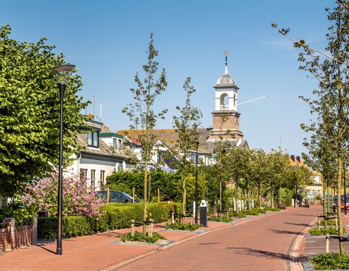
The Robbengat Route (black) is a long circular walk from the village that links the Krimbos nature reserve, the Eierlandse Dunes, the beach and the dike. The lighthouse and Wadden ferry De Vriendschap are also located on the route. This walk shows off the highly varied landscape of the northernmost part of Texel.
-
 To add this route in the app: scan the QR code from within the app. or enter the route number 235997 in.
 - 11.55 km
-
 Closed route
-
 Soon-to-be closed route
-
 Reports
-
 Hike point
-
 Starting point
-
 One-way path
Scroll the table below horizontally to see more
| From | To | Segment length | Marking(s) | Characteristics | Reports |
|---|---|---|---|---|---|
|
De cocksdorp |
0.62 km |
|
|
||
| 0.66 km |
|
|
|||
| 0.76 km |
|
|
|||
| 1.57 km |
|
|
|||
| 1.06 km |
|
|
|||
| 1.2 km |
|
|
|||
| 1.46 km |
|
|
|||
| 0.1 km |
|
|
|||
| 0.31 km |
|
|
|||
| 1.24 km |
|
|
|||
| 1.1 km |
|
|
|||
| 0.86 km |
|
|
|||
|
De cocksdorp |
0.6 km |
|
|