
Rondje Waarland (green)
Good
6 Ratings
Rate this route
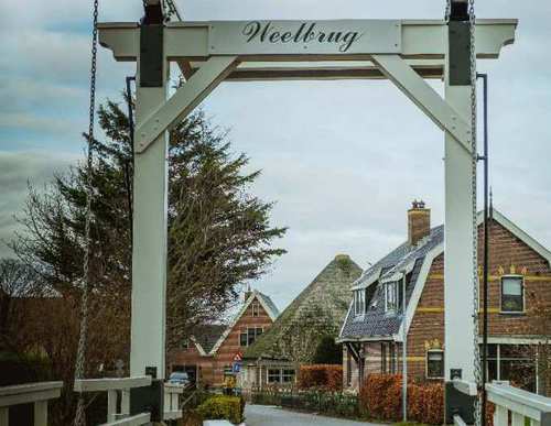
The Rondje Waarland Route (green) starting from ‘t Verlaat near Nieuwe Niedorp, explores the Boomerwaal nature reserve managed by Staatsbosbeheer (Dutch Forestry Commission). It follows the grass dyke of the Boomerpolder, crosses the Boomervaart using a high footbridge and continues along the banks of the Slootgaardpolder ring canal. At the Weelbrug, it heads towards the old village of Waarland and its Waertmolen, dating from 1571. Along the nature zone on the south bank of the canal, it follows the unpaved Waardkade – the northern ring dyke of the reclaimed land of Heerhugowaard.
The route is waymarked in both directions with green arrows.
-
 To add this route in the app: scan the QR code from within the app. or enter the route number 55902 in.
 - 7.03 km
-
 Closed route
-
 Soon-to-be closed route
-
 Reports
-
 Hike point
-
 Starting point
-
 One-way path

| From | To | Segment length | Marking(s) | Characteristics | Reports |
|---|---|---|---|---|---|
|
Starting point 't verlaat |
0.5 km |
|
|
||
| 1.06 km |
|
|
|||
| 0.45 km |
|
|
|||
|
Startpunt waarland |
1.25 km |
|
|
||
|
Startpunt waarland |
0.99 km |
|
|
||
| 0.67 km |
|
|
|||
| 1.86 km |
|
|
|||
| 0.26 km |
|
|
|||
|
Starting point 't verlaat |
0.5 km |
|
|