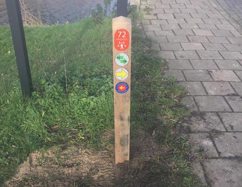
Schinkel Path (yellow)
Good
2 Ratings
Rate this route
The Schinkelpad or Schinkel Path (yellow) follows both sides of the banks of the Schinkel river, between the Overtoom and the Nieuwe Meer lake. Today, the Schinkel and the Kostverlorenvaart canal together form the main navigation route through Amsterdam. There are a lot of houseboats moored along the banks and you can see the tram depot of the GVB public transport company. Do not miss the special tree trunk landscape feature in Schinkeleilanden Park. The route briefly passes through the Vondelpark and then runs along the Emmaplein and Lomanstraat with its curved plane trees.
-
To add this route in the app: scan the QR code from within the app. or enter the route number 132490 in.
- 5.50 km
-
 Closed route
-
 Soon-to-be closed route
-
 Reports
-
 Hike point
-
 Starting point
-
 One-way path
| From | To | Segment length | Marking(s) | Characteristics | Reports |
|---|---|---|---|---|---|
|
Starting point haarlemmermeer station |
1.41 km |
|
|
|
|
| 0.48 km |
|
|
|
||
| 2.48 km |
|
|
|
||
| 0.41 km |
|
|
|
||
|
Starting point haarlemmermeer station |
0.72 km |
|
|
|


