
Schinkelpolderroute (orange)
A part of this route is closed from 15-03-2026 to 15-07-2026
Rate this route
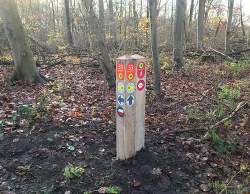
The Schinkelpolderroute (orange) also passes through the Schinkelbos. The rugged route gives a good idea of the horticulture near Aalsmeer and the new districts of the Legmeer. You will walk past the De Zwarte Ruiter mill and the striking tower of the St. Urbanus Church in Bovenkerk. If you're lucky, you will see not only the highland cattle but also the shy Exmoor ponies. Be aware of the boggy ground. Dogs are not allowed in the Schinkelbos park.
-
 To add this route in the app: scan the QR code from within the app. or enter the route number 131960 in.
 - 13.29 km
-
Closed route
-
 Soon-to-be closed route
-
 Reports
-
 Hike point
-
 Starting point
-
 One-way path
Scroll the table below horizontally to see more

| From | To | Segment length | Marking(s) | Characteristics | Reports |
|---|---|---|---|---|---|
|
Radarterrein (car park) starting point |
0.58 km |
|
|
||
| 0.14 km |
|
|
|||
| 0.21 km |
|
|
|||
| 0.77 km |
|
|
|||
| 0.06 km |
|
|
|||
| 0.75 km |
|
|
|||
| 2.39 km |
|
|
|||
| 3.35 km |
|
|
|||
|
Aalsmeer starting point [top] |
0.36 km |
|
|
||
|
Aalsmeer starting point [top] |
3.03 km |
|
|
||
| 0.66 km |
|
|
|||
| 0.28 km |
|
|
|||
| 0.52 km |
|
|
|||
|
Radarterrein (car park) starting point |
0.19 km |
|
|