
Slimtochtroute (groen)
Average
2 Ratings
Rate this route
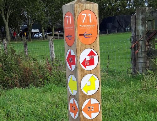
De Slimtochtroute (groen) vanaf startpunt Berkhout gaat helemaal naar de punt van Oosteinde, op de grens met Hoorn. Van hieruit gaat het verder langs de rietkragen van de Slimtocht, over het Klompemaeckerspad. Op dit 2 km lange pad naar Bobeldijk loopt u de weidsheid en de rust tegemoet. Terug naar Berkhout wandelt u over het fietspad langs de Slagterslaan en door het parkje bij De Berk.
-
 To add this route in the app: scan the QR code from within the app. or enter the route number 96553 in.
 - 5.92 km
-
 Closed route
-
 Soon-to-be closed route
-
 Reports
-
 Hike point
-
 Starting point
-
 One-way path
Scroll the table below horizontally to see more

| From | To | Segment length | Marking(s) | Characteristics | Reports |
|---|---|---|---|---|---|
|
Startpunt berkhout |
0.23 km |
|
|
||
| 0.91 km |
|
|
|||
| 0.7 km |
|
|
|||
| 2 km |
|
|
|||
| 1.45 km |
|
|
|||
| 0.42 km |
|
|
|||
|
Startpunt berkhout |
0.23 km |
|
|