
Traces of the Reede (orange)
Good
1 Ratings
Rate this route
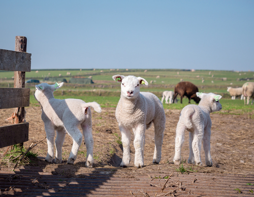
Traces of the Reede (orange) extends the red route via a meandering shell path along the Skilsloot canal to the Wadden Sea. This historic drinking water connection from the Wezenputten (Orphan wells) dates back to the glory days of the 'Reede van Texel' anchorage site. The outer dike path along the mud flats inspires the imagination about whalers and the VOC (Dutch East India Company) ships.
-
 To add this route in the app: scan the QR code from within the app. or enter the route number 236338 in.
 - 7.00 km
-
 Closed route
-
 Soon-to-be closed route
-
 Reports
-
 Hike point
-
 Starting point
-
 One-way path
Scroll the table below horizontally to see more

| From | To | Segment length | Marking(s) | Characteristics | Reports |
|---|---|---|---|---|---|
|
Hoge berg |
0.06 km |
|
|
||
| 0.66 km |
|
|
|||
| 0.75 km |
|
|
|||
| 0.32 km |
|
|
|||
| 0.14 km |
|
|
|||
| 0.3 km |
|
|
|||
| 0.91 km |
|
|
|||
| 0.17 km |
|
|
|||
| 1.57 km |
|
|
|||
| 0.3 km |
|
|
|||
| 0.17 km |
|
|
|||
| 0.46 km |
|
|
|||
| 0.53 km |
|
|
|||
| 0.51 km |
|
|
|||
|
Hoge berg |
0.16 km |
|
|