
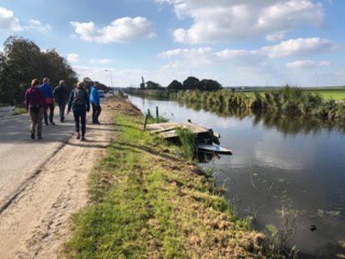
Tramway Route (blue)
Good
5 Ratings
Rate this route
The Tramway Route (blue) runs to neighbouring Winkel, partly along the embankment of the former Schagen–Wognum–Hoorn tramway (1898–1935). The route also follows the grassy dyke beside the canal.
-
 To add this route in the app: scan the QR code from within the app. or enter the route number 55955 in.
 - 6.85 km
-
 Closed route
-
 Soon-to-be closed route
-
 Reports
-
 Hike point
-
 Starting point
-
 One-way path
Scroll the table below horizontally to see more

| From | To | Segment length | Marking(s) | Characteristics | Reports |
|---|---|---|---|---|---|
|
Starting point nieuwe niedorp |
0.77 km |
|
|
||
| 0.56 km |
|
|
|||
| 0.05 km |
|
|
|||
| 2.28 km |
|
|
|||
|
Starting point winkel |
1.26 km |
|
|
||
|
Starting point winkel |
1.65 km |
|
|
||
|
Starting point nieuwe niedorp |
0.29 km |
|
|