
Vissers Circular Walk (red)
Rate this route
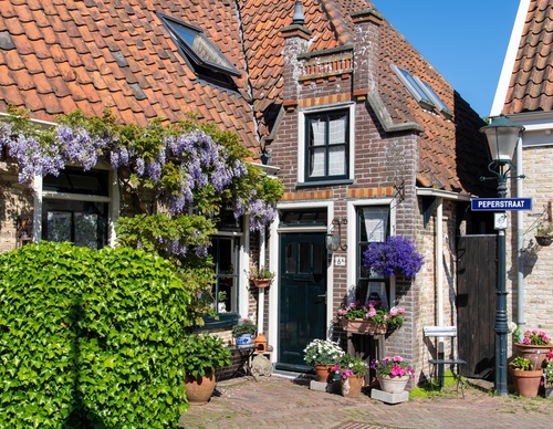
The entirely paved Vissers Circular Walk (red) leads to where the people of Oosterend had an oyster harbour in the 19th century. The now-vanished harbour at Nieuweschild provided a safe mooring for the little boats. On the Wadden Sea Dike, you pass a striking cast-iron ship's beacon from 1854, the IJzeren Kaap.
-
 To add this route in the app: scan the QR code from within the app. or enter the route number 236367 in.
 - 5.40 km
-
 Closed route
-
 Soon-to-be closed route
-
 Reports
-
 Hike point
-
 Starting point
-
 One-way path
Scroll the table below horizontally to see more

| From | To | Segment length | Marking(s) | Characteristics | Reports |
|---|---|---|---|---|---|
|
Oosterend |
0.06 km |
|
|
||
| 0.22 km |
|
|
|||
| 0.4 km |
|
|
|||
| 0.04 km |
|
|
|||
| 0.24 km |
|
|
|||
| 0.21 km |
|
|
|||
| 0.29 km |
|
|
|||
|
Ijzeren kaap |
0.94 km |
|
|
||
|
Ijzeren kaap |
0.16 km |
|
|
||
| 0.82 km |
|
|
|||
| 0.82 km |
|
|
|||
| 0.64 km |
|
|
|||
| 0.04 km |
|
|
|||
| 0.48 km |
|
|
|||
|
Oosterend |
0.06 km |
|
|