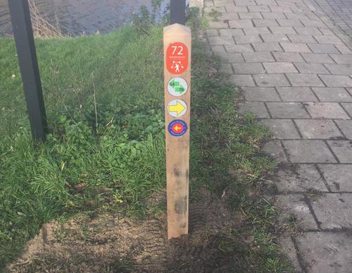
Vuurlijn Path (yellow)
ratings.0
1 Ratings
Rate this route
The Vuurlijn Path (yellow) is a hefty circular walk from the Westeinderplassen lakes via the Vuurlijn. This earthen dike was part of the Defence Line of Amsterdam, the ring of fortifications around the capital. The dike was located behind the fortresses at Kudelstaart and De Kwakel and is currently a 4 km-long green walkway. The Legmeerpolder now features greenhouses and trendy 1930s-style new builds but head onto the Hogedijk for an idea of what the polder used to look like.
-
To add this route in the app: scan the QR code from within the app. or enter the route number 132455 in.
- 17.93 km
-
 Closed route
-
 Soon-to-be closed route
-
 Reports
-
 Hike point
-
 Starting point
-
 One-way path
| From | To | Segment length | Marking(s) | Characteristics | Reports |
|---|---|---|---|---|---|
|
Starting point aalsmeer kolenhaven |
0.25 km |
|
|
|
|
| 1.91 km |
|
|
|
||
| 1.75 km |
|
|
|
||
| 3.66 km |
|
|
|
||
| 4.78 km |
|
|
|
||
| 1.25 km |
|
|
|
||
| 2.03 km |
|
|
|
||
| 0.65 km |
|
|
|
||
| 0.73 km |
|
|
|
||
|
Starting point aalsmeer kolenhaven |
0.93 km |
|
|
|


