
Waterral Path (red)
Rate this route
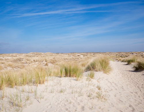
The Waterral Path (red) is a short circular walk to the eponymous observation point, following narrow sandy paths around the eastern Horsmeertje lake. In the 1960s, this former dune valley filled with freshwater due to increasing dune growth. You can see meadow pipits and bearded reedlings flitting around the wide reedbeds along the banks.
-
 To add this route in the app: scan the QR code from within the app. or enter the route number 236004 in.
 - 2.73 km
-
 Closed route
-
 Soon-to-be closed route
-
 Reports
-
 Hike point
-
 Starting point
-
 One-way path
Scroll the table below horizontally to see more

| From | To | Segment length | Marking(s) | Characteristics | Reports |
|---|---|---|---|---|---|
|
De hors |
0.16 km |
|
|
||
| 1.82 km |
|
|
|||
| 0.53 km |
|
|
|||
| 0.07 km |
|
|
|||
|
De hors |
0.16 km |
|
|