
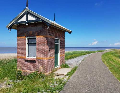
Westkliefroute (yellow)
Good
6 Ratings
Rate this route
The Westerklief Route (yellow) runs towards the Wadden side of the western boulder clay hill of Wieringen, then continues through to the cliff area.
Westerklief takes its name from the time when Wieringen was an island. It was then one of the highest points on the island. People settled here to protect themselves from the sea. Waves crashed against the boulder clay mounds, forming cliff-like edges (‘kliefen’). Westerklief is named after these cliffs. Most have since disappeared through land cultivation, but some remains can still be seen along the Wieringerrand Canal behind the hamlets.
In 1996, hobbyists searching the area with a metal detector discovered a Viking hoard of silver jewellery and coins. The ‘Viking Hoard of Westerklief’ is now on display at the Dutch National Museum of Antiquities in Leiden.
-
 To add this route in the app: scan the QR code from within the app. or enter the route number 51362 in.
 - 9.69 km
-
 Closed route
-
 Soon-to-be closed route
-
 Reports
-
 Hike point
-
 Starting point
-
 One-way path

| From | To | Segment length | Marking(s) | Characteristics | Reports |
|---|---|---|---|---|---|
|
Starting point de haukes |
0.13 km |
|
|
||
| 0.34 km |
|
|
|||
| 0.56 km |
|
|
|||
|
Starting point westerland |
0.75 km |
|
|
||
|
Starting point westerland |
0.93 km |
|
|
||
| 1.51 km |
|
|
|||
| 1.33 km |
|
|
|||
| 1.13 km |
|
|
|||
| 0.15 km |
|
|
|||
| 1.18 km |
|
|
|||
| 0.29 km |
|
|
|||
| 0.2 km |
|
|
|||
| 1.18 km |
|
|
|||
|
Starting point de haukes |
0.13 km |
|
|