
Uilenstede Starting Point

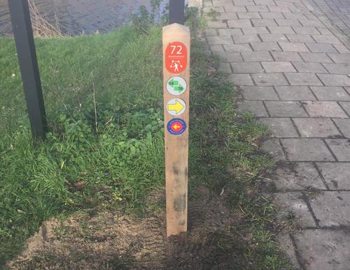
Routes from this starting point
-
Riekermolen Route (green)
- 8.66km
With around 3,400 residents, Uilenstede Campus is the largest student campus in the Netherlands. It is situated in the municipality of Amstelveen, right on the border with Amsterdam. Where student flats now stand was once an extensive low-peat area, where peat was extracted on a large scale. The peat blocks were laid out to dry on a narrow strip of land before being taken to the city as valuable fuel. This narrow strip of land was called ’t Kleine Loopveld. Peat extraction eventually created one large, shallow lake, which could only be drained in 1892. Notice how much higher the ring canal and Kalfjeslaan are than the Middelpolder on the Amstelveen side. Kalfjeslaan is named after the old inn ’t Kalfje on the corner by the Amstel. Jan Claesz Kalf opened an inn here as early as 1670. During the Hunger Winter of 1944–45, illegal felling turned the tree-lined Kalfjeslaan into a bare polder road. The trees were replanted after the war, and the lane soon became a valuable green strip between the built-up areas of Buitenveldert and Amstelveen.
• The Riekermolen Route (green) links Amsterdamse Bos and Amstelpark with the much-photographed Riekermolen on the Amstel. Follow the green corridors along Kalfjeslaan and Gijsbrecht van Aemstelpark. Alternative routes are available where dogs are not permitted.