
Starting Point Warmenhuizen

Routes from this starting point
-
Warmenhuizen Route (green)
- 3.36km
-
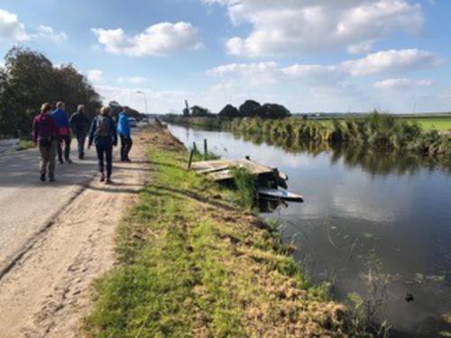
Nuwendoorn Route (purple)
- 11.34km
Warmenhuizen originated as a cluster of dwelling mounds or ‘wallen’ (Oostwal, Oude Wal), built up in the early Middle Ages using clay and seaweed by settlers from Schoorl. This dune village lay across the other side of the Rekere, a tidal creek. The name ‘Scorlewalth’ (Schoorlwoud) refers to this peat-rich area with marsh woodland. The mounds were connected by footpaths and raised creek banks. From here, the surrounding raised peat bog was drained from west to east and brought into cultivation in small fields. After the Middle Ages, the land subsided as the peat compacted and water levels rose, creating true waterlogged polders. Farming shifted to livestock, and traditional Dutch farmhouses built in the shape of a cheese cover became common. Horticulture was introduced around 1900. As the farming population grew, the linear village became longer and wider. Alongside the traditional farmhouses, houses for people of private means, labourers’ cottages, market gardeners’ houses, sheds, cold stores and post-war housing estates were built.
- The green Warmenhuizen Route is a circular walk through the village, passing the Old Ursulakerk (13th century) and the Roman Catholic Ursulakerk (1873) in the Dorpsstraat, which is also known here as the Oude Wal. The route is waymarked in both directions with green arrows.
- The purple Nuwendoorn Route runs to ’t Huys te Nuwendore, built on the Zijpe – then a sea inlet – by Count Floris V to guard the dam in the Rekere near Krabbendam. The fortress stood on the Westfriese Omringdijk around 1287, was washed away in 1375 and partly rebuilt in 2011. The route is waymarked in both directions with purple arrows.