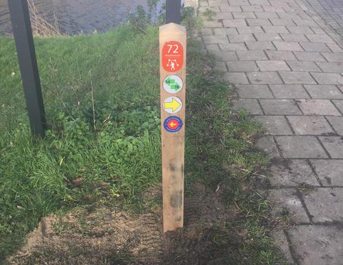
Fort aan de Drecht Starting Point (tourist transfer point)

Routes from this starting point
-
Forts Path (blue)
Unpaved path (partly) No dogs allowed - 8.02km
-
Amstel Dyke Route (red)
Unpaved path (partly) No dogs allowed - 9.13km
kaart startpunt TOP Fort a/d Drecht 2021 (2913 kb)
Both the Fort aan de Drecht and the Fort bij De Kwakel slightly further along are part of the Defence Line of Amsterdam. This 120 km long line of defence around the capital was built at the end of the 19th century. In wartime, Fort aan de Drecht had to ensure that the enemy could not occupy the no longer existing dam lock in the Drecht and thereby lower the level of flooding. The fort had four cannons at its disposal. It has since been restored and serves as a business centre. You can also visit a small exhibition about the fort. Both Fort aan de Drecht and Fort bij De Kwakel are on the UNESCO World Heritage List.
- The Fortenpad or Forts Path (blue) runs first along the banks of the Amstel-Drechtkanaal to Vrouwenakker. The route then passes the Fort bij De Kwakel, which was completed in 1897. Of note is the Vuurlijn, a grass dike that was also part of the line of defence. There used to be several batteries here, and the road on the north side was a so-called 'covered community road', outside the range of fire of enemy troops.
- The Amsteldijkroute or Amstel Dyke Route (red) runs right through Uithoorn to the Zijdelmeer lake, where orchids grow in the reed beds on the banks. Via the Libellebos park, where Scottish highland cattle graze, it heads to the new water storage areas on the Hollandsedijk and then back along the banks of the Amstel river. Along the way, you will pass Thamen’s 19th century church and the former station building.

