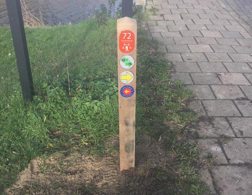
Westeinderplassen Starting Point (tourist transfer point)

Routes from this starting point
-
Landscheidingspad (oranje)
Unpaved path (partly) No dogs allowed - 9.9km
-
Tolhuissluispad (paars)
Unpaved path (partly) No dogs allowed - 16.35km
The Westeinderplassen lakes were created by peat extraction and are now a popular place for many people during the summer. Aalsmeer has a lot to offer visitors with this unique water sports area within the municipal borders. There are plenty of recreational activities available; not just in the water but also on shore, such as on the beach near Surfeiland (Surf Island) or on a terrace at one of the restaurants. Cyclists and walkers can also enjoy the watery polder landscape, which together with Aalsmeer — a village of flower merchants, boat builders, growers and sailors - is rich in history.
- The Landscheidingspad or Land Division Path (orange) takes you to the Tolhuissluis lock along a centuries-old grass dike separating Amstelland and Rijnland. This is one of the most beautiful grass dikes of the Aalsmeer and Uithoorn region and you will be treated to panoramic views of lakes and polders. The walk also travels along the Westeinderplassen and the Drecht and Amstel rivers.
- The Tolhuissluispad or Tolhuissluis Lock Path (purple) includes walking along the shores of the Westeinderplassen lakes. Between the Fort bij Kudelstaart and the Fort bij De Kwakel, you walk across the old firing line, which, like the two forts, was part of the Defence Line of Amsterdam that was created around the capital in the 19th century. To return to Kudelstaart you will take the former towpath along the Amstel-Drecht Canal, walk to the Tolhuissluis lock and then follow the old canal dike.

